Air quality in a city depends mainly on atmospheric dynamics, urban geometry, land use and traffic patterns. This makes knowing the concentrations of pollutants in the different points of the urban fabric very complex. Consequently, urban air quality maps require advanced fluid dynamics modeling (CFD) techniques that require a very high computational cost, not making it feasible to use them for mapping the air over the entire extent of cities.


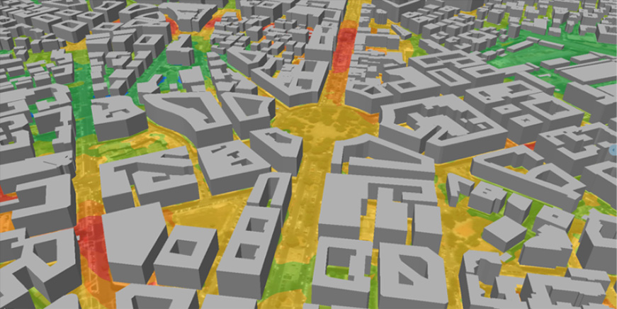
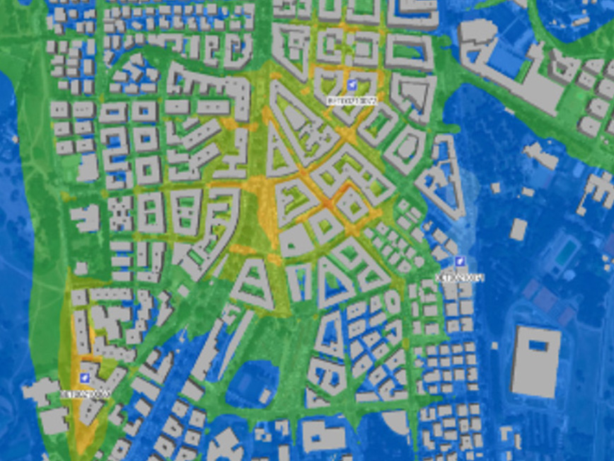
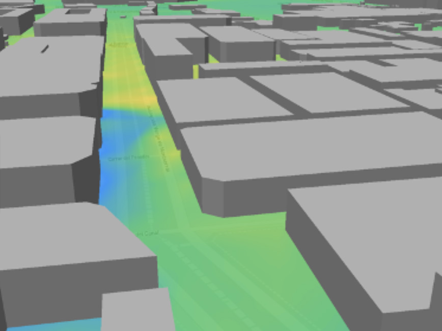
Bettair Cities has developed a new product to generate highly accurate pollution maps (heat maps for different pollutants) using the latest scientific advances. The maps are able to simulate wind flow in cities thanks to artificial intelligence models that emulate fluid dynamics. These new dispersion models of different pollutants are so accurate that they are able to predict the difference in air quality between the two sides of a street, and also at different heights.
To calculate the results, data from several different sources are aggregated, e.g. satellite data, traffic, land use, meteorology and air quality data from both traditional monitoring stations and Bettair sensors. Allowing to have a global and precise vision of the state of the city’s air.
Recently, Bettair Cities has received one of the most prestigious awards for excellence and innovation given annually by Hyperion Research for achieving accurate maps by applying Artificial Intelligence techniques but with a computational cost 8000 times lower than traditional CFD techniques.
